

Developing the Good Map for the Southeast Regional Partnership for Planning and Sustainability
The Southeast Regional Partnership for Planning and Sustainability (better known as SERPPAS) has been collaborating at the intersection of protecting military readiness, conserving natural and working lands and sustaining communities for the last 14 years. The critical equation for accomplishing this mission in the Southeast region (AL, FL, GA, MS, NC, SC) has been to build effective working relationships between the partners, which include State and Federal agencies that have responsibilities for natural resources, working lands and military readiness. This means cultivating relationships built on mutual interest, mutual gain and mutual trust. In addition to these important relationships, the Partnership also utilizes good data and good maps to ensure that good decisions are made to advance the missions of all partners. All of this equates to the identification of overlapping priorities where multiple and mutual benefits can be found for all the partners. This is where SERPPAS finds success.
SERPPAS developed a Strategic Plan for 2018 - 2020 to focus their efforts and serve as a road map for success. Over the last year, SERPPAS has focused on developing the ‘Good Map’ in order to better implement some of the objectives from the plan. For the purposes of this effort, SERPPAS defined ‘Good Map’ as a term that implies the use of good data to depict the priorities of a diverse group of partners in a visual way (on a map or many maps) to identify overlapping interests as well as areas where collaboration for mutual benefits can be achieved. While being able to depict all the partner missions on a map sounds really great, SERPPAS recognized that, without some specific questions that the partners wanted to answer, simply mapping all the different priorities (there are quite a few) would end up being a mess and not usable for real action.
The process SERPPAS used for the Good Map effort, thanks to support from the Southeast Conservation Blueprint as well as the REPI Map (Readiness & Environmental Protection Integration Program), was to identify some fundamental questions that spatial data could help answer, and pursue use cases based on that. This would help SERPPAS understand the specific data needed and potential gaps in data, as well as identify some fundamental areas where partners could take action to implement shared objectives.
The three fundamental questions and use cases that SERPPAS focused on for the Good Map effort were:
1) How much prescribed fire is being implemented in the Southeast; where is it occurring and for what purpose?
Use Case: Compile geospatial fire data at a regional scale and establish baseline/minimum data fields to track actual prescribed fire conducted annually to understand where we are today compared to state and regional goals, as well as current gaps where fire is needed, including areas around military installations.
2) What is the military mission footprint in the Southeast?
Use Case: Compile a military mission footprint to better depict the regional military mission, as it relates to land use change/compatibility impacting the test and training mission, to identify partnership priorities areas.
3) What and where is the shared risk in the coastal areas of the Southeast between installations and communities?
Use Case: Use existing data to identify areas of shared risk to infrastructure, coastal at-risk species, and water availability where SERPPAS can promote resilience efforts (planning, protection, risk assessment) that benefit installations, communities and habitats in the form of a pilot project(s).
These three fundamental questions will be critical in understanding the overarching information needed to identify where and how SERPPAS implements the objectives of the Strategic Plan. For example, a better regional understanding of where the military is interested in land and resource conservation is a fundamental layer of the SERPPAS Good Map, whether it be overlaid with species habitat suitability, wildfire risk or critical coastal resources. The SERPPAS Good Map is an ongoing effort, with work groups collaborating to understand next steps and move each of these topic areas forward. For now, the SERPPAS Good Map is a collaboration of already existing tools and data, incorporating layers from the Southeast Conservation Blueprint and the REPI Map, as this effort has been sustained by in-kind support from willing partners. However, as SERPPAS makes progress on answering these fundamental questions, it may become clear that a standalone SERPPAS mapping tool/application may need to be developed.
SERPPAS expects that this process will continue to help the partnership identify and implement strategic objectives that will benefit collective state and agency missions of the Southeast region. For more information on the overall effort, you can read the full SERPPAS Good Map White Paper here.
--
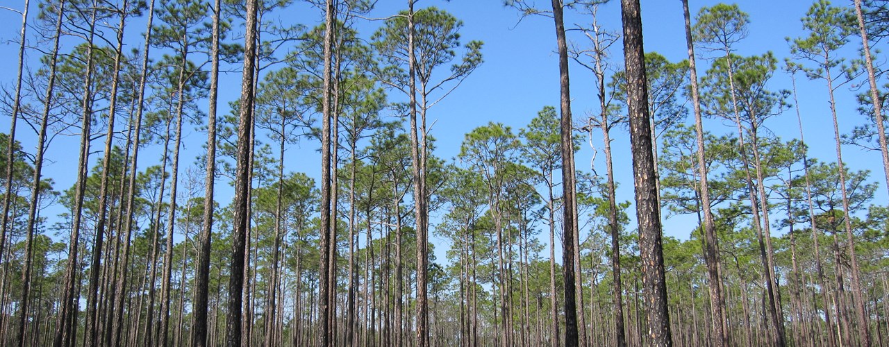
Header photo: Slash pine flatwoods at Osceola National Forest. Photo by Chris M Morris, CC BY 2.0.
--
The Texas A&M Natural Resources Institute grants permission for authors, readers and third parties to reproduce and republish materials from its blogs, publications and online products through permission requests to NRI Communications at nri@tamu.edu. This includes the use of figures, maps, photography and video media. If you have questions about permissions, please contact Brittany Wegner.
Share this post
Authors

Addie Thornton serves as the program manager for the Southeast Regional Partnership for Planning and Sustainability (SERPPAS) and is responsible for providing technical and administrative support for its planning and operatio…