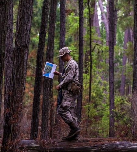

Texas is home to valuable land and air assets used to train our military forces, with 15 active military installations accounting for approximately 1.5 million acres across the state. Each installation has sizable impacts on our nation’s military readiness, the state’s work force, and the economy, generating at least $101.6 billion in economic activity each year.
Honing in on the types land uses in Texas, encroachment, or the incompatible uses of land, air, water and other resources, can take on different forms. As one of the largest landowners in Texas and the U.S., the Department of Defense (DoD) owns 1.5 million acres of Texas land dedicated to the prosperity and sustainment of military operations. Above the ground, DoD utilizes an expansive patchwork of military airspace routes across the state. These land and air spaces are critical to the military readiness mission yet are often compromised by competing needs of civilians and private industry as the state continues to make room for more renewable energy production, population growth, and the increasingly prevalent, multi-billion-dollar companies now calling Texas home.
Finding the middle ground between state stakeholders and crafting collaborative solutions and tools to address Texas’ challenging land use needs has been a focal point of NRI’s work for many years.
Texas Early Notification Tool (TENT)
In 2019, NRI developed the Texas Early Notification Tool, or TENT, a web tool designed to help wind energy developers identify areas of potential conflict with military assets, namely aviation operations, and to facilitate early communication with military stakeholders. While TENT’s public-facing use has been successful, there remained a need for planning tools specifically designed for military operations planners and airspace managers.
Texas Airspace Planning and Forecasting Tool (TAPFT)
In 2022, NRI designed and developed the Texas Airspace Planning and Forecasting Tool, or TAPFT, which provides a comprehensive solution for planners. Employing easy-to-navigate functionality, the tool combines those military installation fence lines on the ground and airspace boundaries overhead with forecasted land development data up to the year 2050. Military-centric managers can visualize future land use change, highlighting where potential incompatible development, such as urban or wind energy expansion, may cross paths with military aviation test and training sites and routes, thus empowering planners to proactively develop long-term strategies and solutions to combat potential land use conflicts.
Readiness and Environmental Protection Integration (REPI) Interactive Map
The purpose of the REPI Interactive Map is to provide partners with GIS locations of all military installations, completed REPI transactions, and relevant information and resources for these projects. With this tool, users can view publicly available DoD data (e.g., military installation boundaries, military training routes, special use airspace) alongside pertinent environmental and land use information from external partners, access funding and acreage information about REPI projects nationwide, link to fact sheets on individual REPI projects or state profiles, navigate to economic data and state policy options for supporting military installations and ranges, and query and customize REPI data for multiple installations at the local, state, and regional level.
-
Threatened and Endangered Species Forecast
Nov 2021
Alison Lund, Drew Finn, Texas A&M Natural Resources Institute -
Military Land Use Compatibility in Texas: 2021
Sep 2021
Tony Parisi, Alison Lund, Texas A&M Natural Resources Institute -
Texas Military Airspace & Land Use Projections
Sep 2021
Alison Lund, Texas A&M Natural Resources Institute


