
NRI takes home gold at the ESRI User Conference
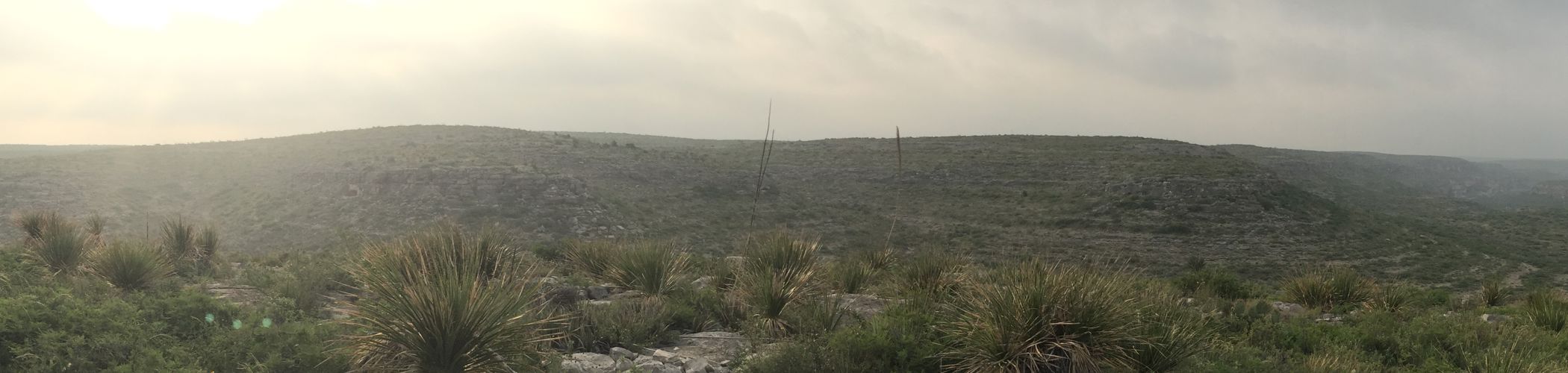
Congratulations to Garrett Powers and the GAT team for winning first place at the ESRI Map Gallery competition! Garrett recently built an engaging story map to explain how satellite imagery analysis was used to assess the impacts of Hurricane Irma on the natural habitats of the National Key Deer Refuge. NRI had the opportunity to exhibit this map to thousands of geospatial professionals at the ESRI User Conference in San Diego in July. Each year at the user conference, ESRI hosts the map gallery to exhibit the ways in which organizations across the world apply GIS and spatial analysis to accomplish their objectives. Map submissions are displayed throughout the duration of the conference and winners are selected via popular vote. Garrett’s map took first place in the spatial analysis story map category for his excellent communication of the remote sensing process and how it was applied in the National Key Deer Refuge. If you haven’t seen Garrett’s story map yet or if you would like to check out the other competition winners, use the links below!
Measuring Hurricane Irma’s Impact on Coastal Forests