

A Story Map: Measuring Hurricane Irma's Impact on Coastal Forests
Measuring Hurricane Irma's Impact on Coastal Forests
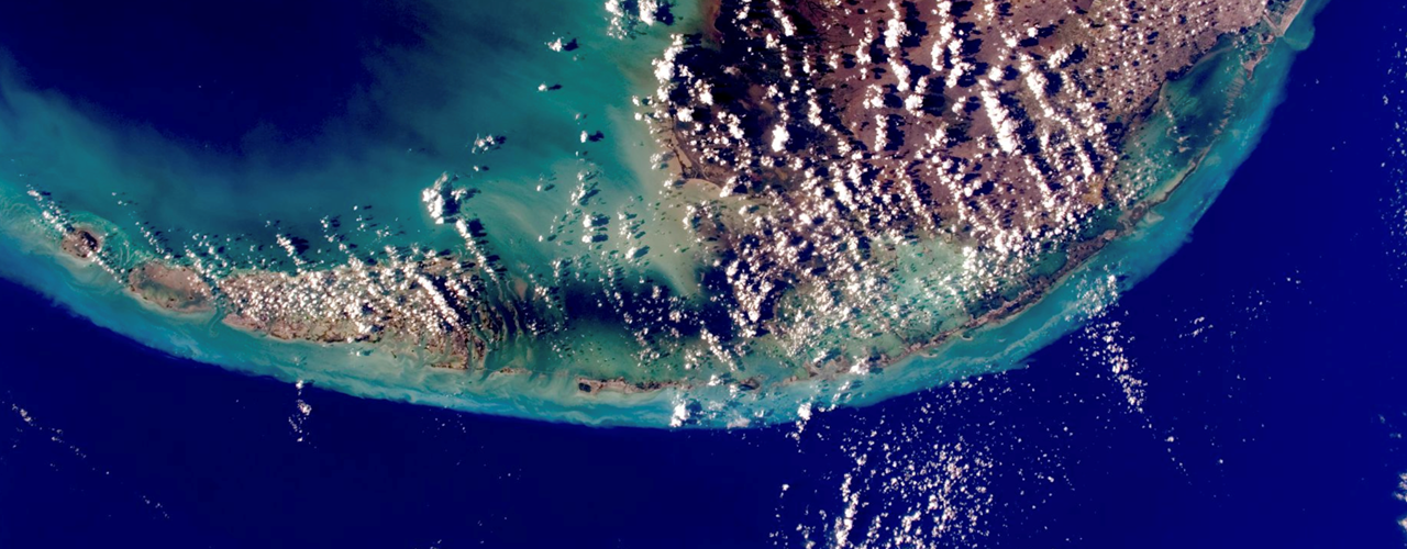
Using remote sensing to track habitat disturbance in the Florida Keys
September 10th, 2017: Hurricane Irma strikes the Lower Florida Keys
Hurricane Irma made landfall on the continental U.S. as a category 4 on the Saffir-Simpson scale. The storm caused approximately 50 billion dollars in damage and many communities are still recovering [2]. While much effort has been put into assessing Irma's impact on humans, we sought to investigate disturbance to the natural environment.
Using ecological expertise and remote sensing technology, the Texas A&M Natural Resources Institute is working to assess the severity of disturbance to coastal forests and track the recovery of this natural vegetation which provides habitat for many species. Let’s take a look at how Hurricane Irma impacted endangered species habitats in the National Key Deer Refuge, a protected area in the Florida Keys...
Experience the full story map.
--
The Texas A&M Natural Resources Institute grants permission for authors, readers and third parties to reproduce and republish materials from its blogs, publications and online products through permission requests to NRI Communications at nri@tamu.edu. This includes the use of figures, maps, photography and video media. If you have questions about permissions, please contact Brittany Wegner.
Share this post
Authors

Garrett joined the Texas A&M Natural Resources Institute as a student technician in 2012, while working to earn his Bachelor of Science in Spatial Sciences that he later received in 2013. Following his undergraduate degr…