


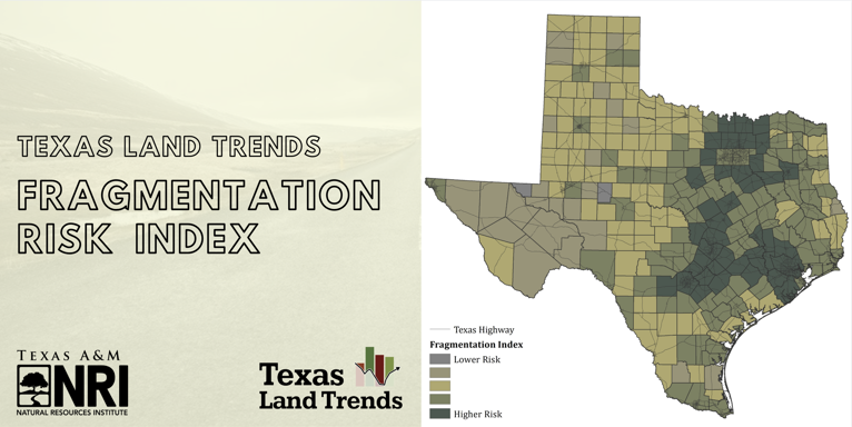
Featured Map: Fragmentation Risk Index
March 6, 2020
In case you missed it, our Texas Land Trends team recently published the latest Status and Trends report that characterizes our state’s privately-owned farms, ranches and forests, collectively known as working lands. While Texas is widely known for its vast rural landscapes and prolific agricultural operations, much of the state’s population (~85%) actually reside in urban or suburban areas, and only a minor portion (<1%) own a piece of rural real estate, totaling about 248,000 ownerships. This small number of ownerships actually account for 82% of the state’s land mass, thus, the stewardship of privately-owned working lands greatly benefits all of us; through improved environmental quality, supply of numerous natural resources for consumers, and basic infrastructure to supporting our state’s rural economies.
The combined influence of a growing population that results in an expansion outwardly from urban areas, aging farmers and ranchers, and increasing land values, to name a few, are key drivers to land fragmentation or the breakup of larger parcels of land and/or conversion of working lands to non-agricultural uses (e.g., housing development). How we, as collective stakeholders in the state, balance our needs and the challenges from land use changes will surely influence future outcomes for Texas’ open spaces. So, where do we begin? Understanding where fragmentation or conversion is likely to occur is an important starting point for engaging in informed conservation measures, educational outreach, and land development planning. This month, we highlight the Fragmentation Risk Index map from the Status and Trends report. Here we identify counties with a relatively higher likelihood of experiencing these changes. A prominent pattern of elevated fragmentation and conversion risk is seen in the Texas triangle, an area that includes counties within and surrounding the metroplexes of Austin, San Antonio, Houston, and Dallas/Fort Worth.
To see the full report, check out our Texas Land Trends website at txlandtrends.org
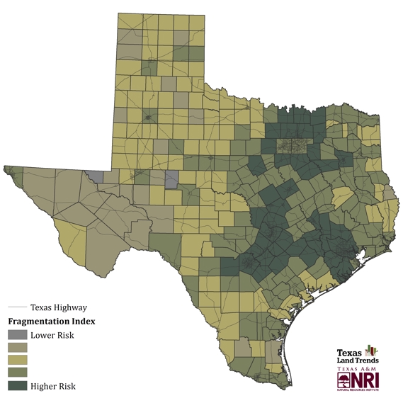
Figure: Texas fragmentation risk index created using market value percent change (1997 to 2017), operator age greater than 65 (2017), average operation size (2017) and future population growth (2020 to 2070).
--
The Texas A&M Natural Resources Institute grants permission for authors, readers and third parties to reproduce and republish materials from its blogs, publications and online products through permission requests to NRI Communications at nri@tamu.edu. This includes the use of figures, maps, photography and video media. If you have questions about permissions, please contact Brittany Wegner.
Learn More

Land & water trends
Informing private and public decision-makers about the status and trends of our state’s working lands
Recent Posts

April 1, 2026
An update on feral pig laws and regulations in Texas


