

NRI expands web tools to help protect military training spaces from incompatible development
July 23, 2025
With funding from the Department of Defense’s (DOD) Office of Local Defense Community Cooperation, the Texas A&M Natural Resources Institute (NRI) developed the new Texas Compatible Use Zones (TCUZ) Viewer (tcuz.nri.tamu.edu), the first centralized web tool to display military compatible use zones (using DOD AICUZ and ICUZ data) for active-duty installations across the state. The TCUZ Viewer helps anyone considering development near a military installation in Texas identify whether their location of interest may conflict with military operations in that area.
A common example is the construction of residential neighborhoods or schools in areas exposed to high noise levels or increased risk of aircraft accidents due to military flight operations. Once development occurs in these zones, accommodation often must be made, such as altering training schedules, reducing training hours, or, in some cases, losing key flight missions, all of which can degrade military readiness. The tool connects users to the most current installation-specific studies for additional information on recommended compatible land uses based on noise, safety, vibration, and other operational impacts.
“Our goal with the TCUZ Viewer is to provide communities, developers, and local leaders with an easy-to-use resource that supports compatible growth while raising awareness of important aircraft accident potential and noise considerations around our state’s military installations,” said Alison Lund, NRI Program Manager. “By helping Texans make informed decisions, we can reduce conflicts, protect critical missions, and support the well-being of those who live and work near our bases.”
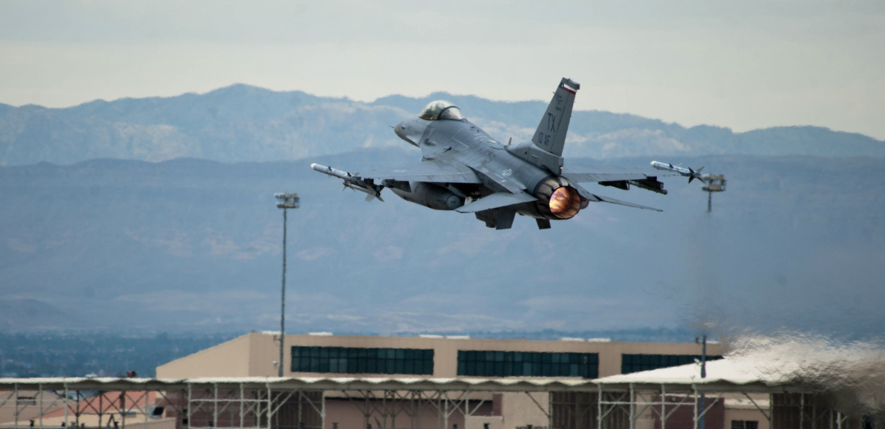
 Example Texas Compatible Use Zones Viewer results page for Naval Air Station Corpus Christi.
In addition to the TCUZ Viewer, NRI previously developed and continues to maintain the Texas Early Notification Tool (TENT; tent.nri.tamu.edu) and the Texas Airspace Planning and Forecasting Tool (TAPFT; tapft.nri.tamu.edu). The TENT web tool is designed to assist energy developers, particularly those in the wind energy sector, in determining whether proposed projects may impact military air operations. It connects users with the relevant military personnel to discuss solutions for areas of intersection.
Similarly, TAPFT was developed for military planners, providing insight into future development, such as urban or wind energy expansion, which may have adverse implications for military test and training spaces. This data enables planners to proactively develop long-term strategies and solutions to mitigate potential land-use conflicts. This tool has recently been expanded to include new data layers that visualize planned high-voltage transmission lines and projected energy grid expansion for both solar and wind capacity.
“This upgrade allows planners to assess energy infrastructure growth alongside military training assets, enabling proactive planning and communication that benefits both national security and energy resiliency,” said Lund.
To learn more about NRI’s web tools, contact:
Alison Lund, Program Manager, alison.lund@ag.tamu.edu
Learn More

Military land sustainability
Protecting military land while ensuring compatibility with surrounding areas and strategic conservation efforts through the use of web-based mapping tools
Authors


Recent Posts

December 8, 2025
Fort Sill habitat restoration provides new opportunities for hunters

November 30, 2025
Conserving South Atlantic salt marsh through collective action


September 19, 2025