

Our Land Trends Program leverages data and geospatial tools to address landscape-scale conservation issues to serve decision-makers, landowners, natural resources practitioners, and educators.
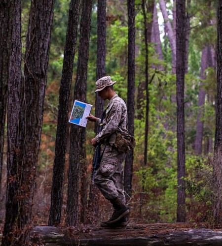
Military land sustainability
Protecting military land while ensuring compatibility with surrounding areas and strategic conservation efforts through the use of web-based mapping tools
Learn More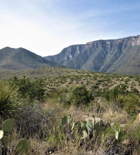
Conservation valuations
Evaluating a statewide conservation program that protects private working lands
Learn More
Human dimensions
Understanding private landowner concerns, challenges and needs in managing their land
Learn More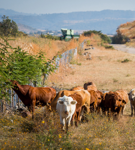
Land & water trends
Informing private and public decision-makers about the status and trends of our state’s working lands
Learn More